
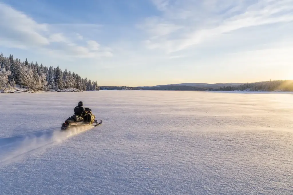
This page gathers eighteen things to do around Lake Baikal, the world's deepest and oldest lake. It covers the easy gateway of Listvyanka, Olkhon Island, protected parks and bays on the eastern shore and a historic railway along the southwest coast. It helps travellers who want clear water and wide views. Browse the list and choose one area first.
This list gathers eighteen things to do around Lake Baikal, the world's deepest and oldest lake. It covers the easy gateway of Listvyanka, the island and villages of Olkhon, protected parks and bays on the eastern shore and a historic railway along the southwest coast. It suits travellers who want clear water, wide views and quiet shores, and who are ready for long distances and changing weather. Use the list to choose one area first, since each part of the lake needs its own days. Ice, wind and ferry timetables change with the season, so check conditions before you set out.
Shamanka Rock, Lake Baikal
PlaceOlkhonsky
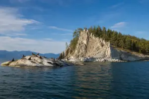
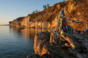
Shamanka Rock is a marble rock formation near Khuzhir on Olkhon Island, an important place in local tradition and a well-known landmark of Lake Baikal. Walk to the viewpoint at sunrise or sunset, keep to the paths and treat the site with respect. It is an easy stop within walking distance of the village.
Cape Khoboy, Lake Baikal
Place
Cape Khoboy is the northernmost point of Olkhon Island, marked by a fang-shaped column of marble and wide views across the broadest part of Lake Baikal. It is an important place in Buryat tradition. Go by off-road vehicle with a guide, bring layers for the wind and allow a full day.
Baikal Museum, Lake Baikal
PlaceIrkutsky
The Baikal Museum in Listvyanka is a natural history museum devoted to the lake, its plants and animals, one of only three museums in the world dedicated solely to a lake. Look for the aquariums and the exhibit on the Baikal seal. Visit on a rainy day, and allow about two hours.
Chersky Stone, Lake Baikal
PlaceIrkutsk Oblast
Chersky Stone is an observation platform 728 metres above Lake Baikal, reached by cable car or forest trail from Listvyanka. From the top you see the lake, the source of the Angara and the Khamar-Daban mountains. Go on a clear day, wear sturdy shoes for the trail and bring a windproof layer.
Listvyanka, Lake Baikal
Place
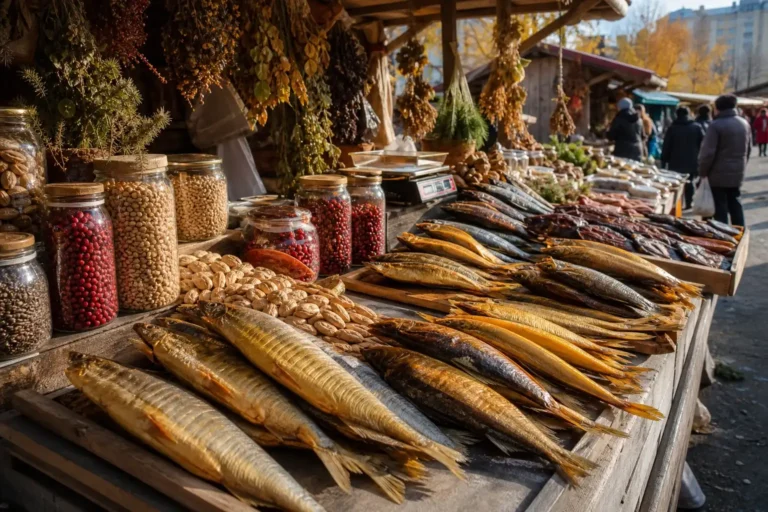
Listvyanka is a lakeside settlement where the Angara River leaves Lake Baikal, 70 kilometres from Irkutsk, and it is the main tourist base on the lake. Walk the embankment, try smoked omul at the market and visit the museum. It is the easiest first stop on Baikal, reached by road from Irkutsk.
Zabaykalsky National Park, Lake Baikal
PlaceBuryatia
Zabaykalsky National Park covers the middle section of Baikal's eastern shore, the western slope of the Barguzin mountains, the Ushkany Islands and the Svyatoy Nos peninsula, protecting 2,690 square kilometres of wilderness. Visit with a guide or a tour operator, since access and some routes need advance permits.
Ogoy Island, Lake Baikal
Place
Ogoy Island is the largest island in the Maloye More strait, topped by a white stupa on its highest point. It is a day excursion from Olkhon, reached by boat in summer or over the ice in winter. Go with a local driver or guide, dress warmly and watch the weather before you set out.
Khuzhir, Lake Baikal
PlaceOlkhonsky
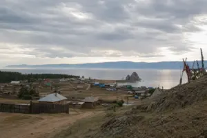
Khuzhir is the main village of Olkhon Island, with about 1,200 residents, guesthouses and a lakeside setting. It is the starting point for trips to Shamanka Rock, Cape Khoboy and the ice in winter. Stay a few nights, rent a bike or join a day tour, and book accommodation ahead in summer.
Ushkany Islands, Lake Baikal
PlaceRepublic of Buryatia
The Ushkany Islands are a four-island archipelago in the middle of Lake Baikal, home to the Baikal seal, the world's only freshwater seal. Access needs special permission from the national park. Join an organised boat tour in summer, ask the operator about rules and bring binoculars for seal watching.
Svyatoy Nos Peninsula, Lake Baikal
Place
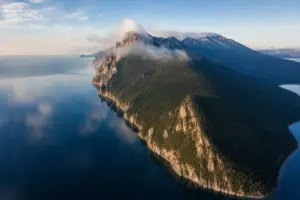
The Svyatoy Nos Peninsula stretches 56 km along Baikal's eastern shore and rises to Mount Markova at 1,878 metres. It is part of Zabaykalsky National Park, with pristine forest, ancient granite cliffs and views across the lake. Plan a guided expedition, bring warm layers and allow several days.
Saraysky Beach, Lake Baikal
Place
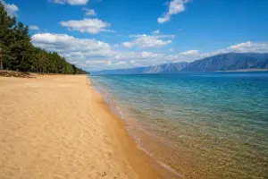
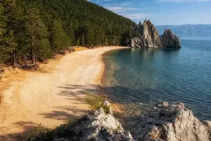
Saraysky Beach is a sandy beach on the northern shore of Olkhon Island, with soft white sand and views across Lake Baikal. Entry is free, and it is used for swimming and sunbathing in summer. Reach it by off-road vehicle, expect cold water even in July and bring a windbreak.
Olkhon Island, Lake Baikal
PlaceIrkutsk Oblast
Olkhon Island is the largest island in Lake Baikal, 730 square kilometres of cliffs, steppe and forest, with Buryat culture and quiet wilderness. It is reached only by ferry. Plan at least two or three nights, rent an off-road vehicle with a driver and check ferry timetables before you travel.
Peschanaya Bay, Lake Baikal
PlaceIrkutsk Oblast
Peschanaya Bay is a crescent-shaped sandy beach, 750 metres long, backed by taiga-clad mountains and reached only by water. Wind-bent trees, dramatic rocks and Baikal's mildest microclimate make it a pleasant stop. Arrive by boat or on foot along the shore path, and bring sun protection and warm layers.
Chivyrkuisky Bay, Lake Baikal
PlaceBuryatia
Chivyrkuisky Bay is the second-largest bay of Lake Baikal, protected and ringed by dense taiga and granite peaks, with unusually warm shallow water and seven islands. Visit in summer for swimming and boat trips, and bring insect repellent. Arrange transport and accommodation ahead, since facilities are limited.
Slyudyanka, Lake Baikal
PlaceIrkutsk Oblast
Slyudyanka is a small railway town at the southern tip of Lake Baikal, famous for its marble railway station on the Trans-Siberian line. Most travellers pass through on the train between Irkutsk and eastern destinations. Stop to see the station, then walk to the lakeshore or start the railway excursion.
Maloye More, Lake Baikal
PlaceIrkutsk Oblast
Maloye More, the Small Sea, is a strait about 70 km long and 5 to 16 km wide, separating Olkhon Island from the western shore of Baikal. It is calmer than the open lake and good for boat trips. Plan a boat or a drive along the coast with a local guide and check the weather first.
Pribaikalsky National Park, Lake Baikal
PlaceIrkutsk Oblast
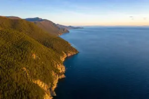
Pribaikalsky National Park covers the southwest coast of Lake Baikal, about 50 km southeast of Irkutsk, with lake-facing slopes of the Primorsky Range and offshore islands including Olkhon. Choose a marked trail for a day hike, bring water and layers, and register at the visitor office if the route needs it.
Circum-Baikal Railway, Lake Baikal
PlaceIrkutsk Oblast
The Circum-Baikal Railway is a historic 89 km line along the lake's southwestern shore from Slyudyanka to Port Baikal, with 38 tunnels, bridges and stone structures built for the Trans-Siberian Railway. Ride the scenic route, step off at the stations and plan a full day with timetable checked in advance.






Listvyanka, the museum, Chersky Stone and Pribaikalsky National Park fit one or two days from Irkutsk. Olkhon needs at least two nights, with Khuzhir, Shamanka Rock, Cape Khoboy, Saraysky Beach and Ogoy Island. Slyudyanka and the Circum-Baikal Railway form a separate day trip. The eastern shore, Svyatoy Nos, Chivyrkuisky Bay and the Ushkany Islands need a guide and advance booking.
Final thoughts
Each part of the lake needs its own days, so choose Listvyanka, Olkhon or the railway first. Ice, wind and ferry timetables change with the season, and some protected areas need permits. Before you go, check conditions with the official source or a local operator, and bring warm layers in every season.


 Ask Masha