
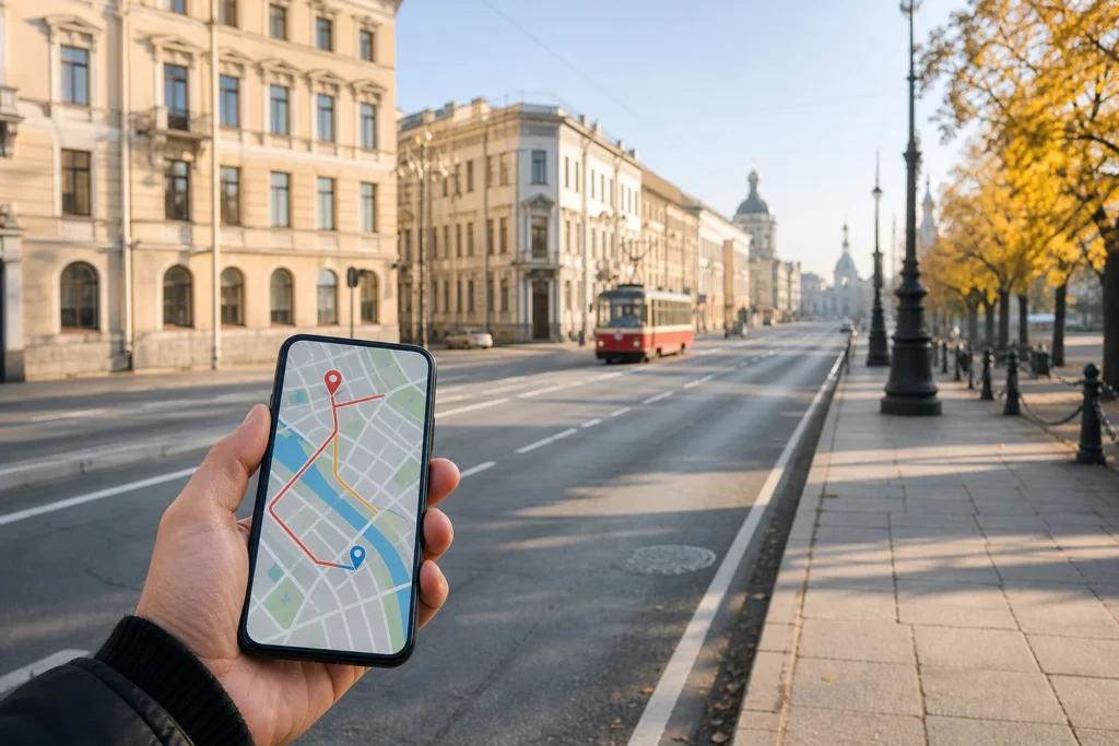
How to Use Maps and Public Transport Apps, Saint Petersburg, is an essential skill for exploring a city of broad avenues, canals, islands and extensive public transport networks. A reliable navigation app helps you find the correct metro entrance, locate a bus stop, compare walking routes and avoid unnecessary transfers. It is especially useful when destinations lie beyond the familiar streets around Nevsky Prospekt.
For most international visitors, Yandex Maps is a practical starting point because it combines pedestrian directions, public transport routes, stop information and vehicle tracking. Downloading an offline map before travelling provides additional reassurance when mobile internet is unavailable. This guide compares Yandex Maps, 2GIS, Yandex Metro and the official city transport portal, explaining exactly how to prepare your phone, plan a journey and follow directions through Saint Petersburg.
Quick answer: Use Yandex Maps to plan public transport and walking routes, with 2GIS as an offline backup. Allow 10–15 minutes for setup. Navigation is free; public transport fares are separate.
At a Glance
| Total time | 10–15 minutes for initial setup, plus map download time |
|---|---|
| Typical cost | free |
| Last updated | October 17, 2026 |
What You Need Before You Start
- A smartphone with sufficient battery and available storage
- Yandex Maps installed from an appropriate official app source
- 2GIS as an optional second navigation app
- A Wi-Fi or mobile internet connection for downloading maps
- Location services enabled when using live navigation
- Your accommodation address saved for return journeys
- A list of attractions or transport stations you intend to visit
- A charging cable or portable battery for longer sightseeing days
Compare Your Options
| Option | Duration | Price | Notes |
|---|---|---|---|
| Yandex Maps — Recommended for Everyday Navigation | 5–10 minutes for setup, excluding map downloads | Free | Best all-round option for international visitors navigating Saint Petersburg. Yandex Maps supports walking directions, public transport route planning, stop information, estimated arrivals and live vehicle tracking where data is available. Downloaded maps provide offline navigation with reduced real-time information. The service can be used throughout the day, while the first and last departures of individual transport routes vary. Particularly useful for mixed walking and public transport journeys. |
| 2GIS — Best for Detailed Maps and Offline Backup | 5–10 minutes for setup, excluding map downloads | Free | Useful for detailed street navigation, locating building entrances and planning routes involving metro services, buses, trams, trolleybuses and walking. Its downloadable Saint Petersburg map allows searches and route planning without an internet connection. Real-time vehicle tracking and traffic information require connectivity. Route estimates depend on available timetable data. The app is suitable throughout the day and is especially helpful when reaching addresses beyond major tourist streets. |
| Official Saint Petersburg Public Transport Portal | 2–5 minutes to check a route | Free | Operated through the city's Passenger Transport Organizer, the official portal provides route information, timetables and a map showing municipal surface transport movements. It is particularly useful when checking a specific bus, tram or trolleybus service or examining official route information. The portal can be consulted whenever internet access is available, while transport operating hours differ by route. Its interface may be less convenient for international visitors unfamiliar with Russian. |
| Yandex Metro — Best for Underground Connections | 3–5 minutes for setup | Free | A dedicated metro journey planner with an offline network map, interchange guidance, estimated travel times and information about station exits. It can suggest suitable train-car positions for easier transfers or exits. Useful for journeys involving several metro lines or unfamiliar interchange stations. The planner itself is available independently of train operating hours, but actual travel depends on each station's schedule and current restrictions. |
| Saint Petersburg Metro Official Interactive Map | 1–3 minutes to check a journey | Free | The metro operator's interactive network map allows passengers to select departure and destination stations and calculate an estimated journey time. It is a useful reference for official metro network information without relying on a third-party app. The map can be consulted online at any time, although travel remains subject to station opening hours, repairs and service changes. It does not replace a complete street-level route planner. |
₽ budget · ₽₽ moderate · ₽₽₽ upscale · ₽₽₽₽ splurge. Price levels are estimates compared with typical prices for visitors.
Step-by-Step Instructions
Step 1: 1. Install Yandex Maps Before Your Visit
Install Yandex Maps from an official app distribution source supported by your device. Open the app while connected to the internet and search for Saint Petersburg. Allow location access if you want the map to identify your position automatically. Familiarise yourself with the search bar, directions function and public transport layer. You can also use the browser version when installing an application is inconvenient, although the mobile app provides additional navigation and offline features.
Tip: Complete the installation before travelling, when app downloads and account access are easier to troubleshoot.
Step 2: 2. Download the Saint Petersburg Offline Map
Open your profile or app menu in Yandex Maps and select Offline maps. Search for Saint Petersburg and download the available city map while using a reliable internet connection. The saved map supports place searches and route planning without continuous mobile data. Yandex Maps can calculate walking and public transport routes offline, although live vehicle positions and current disruptions require an internet connection. Confirm that the download finishes successfully before relying on it.
Tip: Turn off Wi-Fi and mobile data briefly to test the downloaded map. Restore connectivity afterwards so updates remain available.
Step 3: 3. Save Your Hotel and Important Destinations
Find your accommodation using its full address or the location marked on your booking information. Open the correct place card and save it for easy access. Repeat this for destinations such as Palace Square, the State Hermitage Museum and your nearest metro station. Saving these places makes it easier to build return journeys without repeatedly typing unfamiliar names. Check the map position carefully when several buildings or entrances have similar descriptions.
Tip: Save your hotel's actual entrance location when possible, not merely a point in the middle of its street.
Step 4: 4. Build a Public Transport Route
For a central example, start near Gostiny Dvor Metro Station on Nevsky Prospekt in Tsentralny District. Search for Peter and Paul Fortress, open its place card and select Directions. Set your starting point, then choose public transport. Yandex Maps will display available route combinations, which may include metro services, buses, trams, trolleybuses and walking sections. Compare the alternatives by journey duration, number of transfers and walking distance rather than automatically choosing the first result.
Tip: A route with fewer transfers can be more comfortable than a slightly faster journey, especially with luggage or in winter.
Step 5: 5. Identify the Correct Stop and Direction
Open the details of your selected route and examine the first walking section. Zoom in until you can distinguish the correct side of the street and the position of the transport stop. Check the route number and the direction or terminus shown in the journey instructions. At complex intersections, stops serving opposite directions may be separated by several pedestrian crossings. Follow the walking directions to the exact boarding point before checking the approaching vehicles.
Tip: A stop name alone is not enough at a large interchange. Confirm the route direction as well.
Step 6: 6. Check Live Vehicle Information
In Yandex Maps, select the Transport view to display public transport vehicles on the map. You can filter transport types, select a route and examine the estimated arrival information for a particular stop. Where operators supply current movement data, vehicle markers help you see whether your bus, tram or trolleybus is approaching. Not every vehicle is necessarily displayed, and an estimated arrival can change with traffic or data updates. The official city transport portal provides another source for checking surface services.
Tip: Use live arrivals as guidance rather than a guarantee. Remain at the designated stop until the vehicle actually arrives.
Step 7: 7. Follow the Journey and Watch Your Connection
Once your journey begins, use the selected route overview to follow your position on the map. Watch the sequence of stops and the approach to your transfer point. Underground GPS accuracy can be limited, so follow the displayed metro station sequence and official platform signs while travelling below ground. When you emerge, allow the phone a moment to establish your position again. If you have missed a connection, request a fresh route from your current location.
Tip: On the metro, station names and line colours are more dependable than watching a moving GPS marker underground.
Step 8: 8. Compare the Route with 2GIS When Necessary
If the route appears complicated, open 2GIS and search for the same destination. The app can provide detailed pedestrian approaches, building entrances and alternative public transport connections. Download its Saint Petersburg city map beforehand to preserve useful functions offline. Compare the final walking section in both applications, particularly around large railway stations or blocks with several entrances. For confirmed transport disruptions, use the latest information supplied by the relevant city operator rather than treating either map as an official announcement.
Tip: Keep one application for your active journey and use the second only when you need a different route or clearer entrance information.
Common Mistakes to Avoid
- Assuming a downloaded offline map still shows live buses and current delays. Offline routing uses stored information; connect to the internet when checking approaching vehicles or temporary changes.
- Searching for a railway station without checking its full name. Saint Petersburg has several major railway terminals, and a route to Moskovsky Railway Station is not interchangeable with one to Ladozhsky Railway Station.
- Selecting the correct metro station but the wrong exit. Large stations can have multiple entrances, and the final walking distance may be longer than expected.
- Trusting the first suggested route without comparing transfers and walking sections. A slightly longer direct route may be easier than changing vehicles several times.
- Relying on a moving vehicle marker as proof of an exact arrival time. Live locations can be delayed, incomplete or temporarily inaccurate.
- Following a saved route after a major road closure or public celebration without refreshing it. Central streets and bridge approaches can be affected by temporary transport changes.
- Confusing the city transport portal with unofficial transport applications that use similar names. Check the identity of the publisher and distinguish official operator information from third-party route estimates.
Tickets, Payment and Booking
Map applications: Yandex Maps, 2GIS and Yandex Metro offer free navigation functions. Obtain applications through the developers’ official distribution channels or their verified app store listings. Downloading maps does not purchase a transport ticket.
Actual journeys: Public transport requires an appropriate fare product. The physical Podorozhnik card can be purchased through official Saint Petersburg transport sales points and metro facilities. Ticket purchase and validation are separate from navigation-app route planning.
International visitors: As of October 2026, foreign-issued Visa and Mastercard cards generally cannot be used through Russian payment systems. Check supported methods directly with transport operators. Sanctions rules in your home country may restrict certain Russian financial services. These rules can change and may depend on nationality and jurisdiction. Avoid unofficial ticket resellers or apps requesting unexpected financial information.
Helpful Links
Compare hotel pricesSearch flights
Advertisement: these are partner links. If you book or buy through them, we may earn a commission at no extra cost to you.
Russia Vibes Tips
- Save an offline map and the location of your accommodation before arriving at Pulkovo Airport. This allows you to orient yourself even if your mobile data connection is not working immediately after arrival.
- Use building entrance information when visiting museums or large attractions. A map pin may indicate the centre of a complex, while the public entrance is on another street or across a courtyard.
- When planning a route across the Neva, check whether you will be travelling late at night during the navigation season. Opening bridges can interrupt some road crossings, and an ordinary route calculation may not fully reflect the practical inconvenience.
- Set your departure time deliberately when planning an early airport journey or a return from an evening performance. A route calculated for the afternoon may not offer the same services near the end of the operating day.
- In the historic centre, use a walking comparison before committing to a public transport connection. Several major attractions are close enough that waiting, boarding and changing vehicles can take longer than walking between them.
- If the mobile app repeatedly places you on the wrong side of a street, use recognisable landmarks such as a canal, intersection or metro entrance to establish your position manually. Dense buildings can affect satellite positioning accuracy.
Explore Nearby How to Use Maps and Public Transport Apps, Saint Petersburg
Sights near How to Use Maps and Public Transport Apps, Saint Petersburg
 Nevsky Prospekt, Saint Petersburg · typical visit: 2–4 hours for the main stretch; a full day with stops
Main image: AI-generated illustration. It may not show the place exactly as it looks.
 Kazan Cathedral, Saint Petersburg · typical visit: 30–60 minutes
Main image: AI-generated illustration. It may not show the place exactly as it looks.
 State Russian Museum, Saint Petersburg · typical visit: 3–4 hours for the main building
Main image: AI-generated illustration. It may not show the place exactly as it looks.
 Fabergé Museum, Saint Petersburg · typical visit: 1–2 hours
Main image: AI-generated illustration. It may not show the place exactly as it looks.
 Church of the Savior on Spilled Blood, Saint Petersburg · typical visit: 1 hour inside, plus time to walk around the outside
Main image: AI-generated illustration. It may not show the place exactly as it looks.
Metro stations near How to Use Maps and Public Transport Apps, Saint Petersburg
 Gostiny Dvor Metro Station, Saint Petersburg
Main image: AI-generated illustration. It may not show the place exactly as it looks.
Browse more: All How-To · All How-To in Saint Petersburg · All Saint Petersburg · All Taxis and Apps
FAQ
What is the best map app for tourists in Saint Petersburg?
Yandex Maps is a practical general-purpose choice because it combines pedestrian navigation, public transport routing and live vehicle information where available. It is suitable for planning journeys from central attractions to accommodation or neighbourhoods farther away. 2GIS is a useful companion when you need a more detailed building entrance or pedestrian approach. Both can be used with downloaded offline maps.
Do Yandex Maps and 2GIS work without internet in Saint Petersburg?
Yes, provided you download the required Saint Petersburg map in advance. Both applications support useful offline navigation, including route planning and address searches. However, information that requires live connectivity will be unavailable or outdated. Your smartphone can still determine its location through satellite positioning when conditions permit. Offline maps are particularly helpful when a local mobile connection is unavailable or unreliable.
Can I use Google Maps to navigate Saint Petersburg?
Google Maps can still be useful for locating streets and landmarks, but do not rely on it as your only source of local public transport information. Service coverage, route accuracy and live transit features can vary. For journeys involving several buses or metro transfers, compare the result with Yandex Maps, 2GIS or the official operator. Keep an offline alternative available before leaving your accommodation.
Can these apps show where my bus or tram is right now?
Yandex Maps provides live public transport markers and predicted arrivals when movement data is available. 2GIS also offers online vehicle tracking. Saint Petersburg's official transport portal can display municipal surface transport movements. Nevertheless, not every vehicle necessarily appears, and data can be delayed. A stationary or missing marker should not be taken as confirmation that a service is cancelled.
Which app is best for using the Saint Petersburg Metro?
Yandex Metro is particularly useful for underground journeys because its interface concentrates on metro lines, interchange stations, journey times and station exits. It can provide train-car recommendations for convenient transfers. The Saint Petersburg Metro operator also offers an official interactive network map. For a complete journey that continues on foot after leaving a station, a general navigation app provides additional street-level guidance.
Will the apps work with an international phone number?
Basic map searches and navigation do not generally require a Russian telephone number. Some optional services, account features or payment functions may require additional verification. App availability and login requirements can vary by device, account region and application version. Test the essential functions before departure rather than discovering an account problem at a transport stop.
How can I find my way back to my hotel at night?
Save your accommodation before leaving and use it as the destination when planning your return. Select the correct departure time so the route planner can consider the available connections. Check the final walking section and the last operating services rather than assuming a daytime route is still available. Keep a saved address or screenshot as a backup if your phone loses connectivity.
Do I need a separate app to travel with children or luggage?
No. The same navigation applications can help families and travellers carrying luggage, but they do not automatically guarantee step-free journeys. When comparing alternatives, pay attention to walking distances, transfers, station entrances and the types of vehicles involved. For wheelchair or pushchair access, consult the relevant transport operator's accessibility information, since vehicle accessibility and station facilities can differ.
Russia Vibes is a one-person project. A coffee keeps it going
Not legal advice. This is general information for visitors. Rules on visas, entry, registration, customs and similar matters change often and can depend on your nationality. Check the official source and, if in doubt, ask your embassy or a qualified adviser.
Last updated: October 17, 2026.
How we research and update our guides
About this guide: AI assistance and accuracy
This guide is created with the help of AI and is based on official sources where available. Mistakes can still happen. Opening hours, prices, rules and other details are given to the best of our knowledge as of the date shown and can change without notice. It offers general recommendations only, not professional, legal or travel advice. Please confirm important details with the official source before you travel; you are responsible for your own plans and decisions.
International sanctions affect payments between Russia and many other countries. In practice, cards issued in the EU, the UK, the US and several other countries often do not work in Russia, Russian cards usually do not work abroad, and some booking platforms, airlines and payment providers limit or suspend their services for Russia. The situation changes frequently. We do not give legal or financial advice, and this site does not encourage anyone to break or circumvent sanctions. Whatever you plan, you are responsible for following the laws and regulations that apply to you, including those of your country of residence and citizenship. Many travelers still organise their stay lawfully. It is worth asking your bank or payment provider what is currently permitted, contacting hotels, tour operators and carriers directly about the payment methods they accept, and checking which services are open to customers from your country. Clarify payment, cancellation and refund terms before you commit to a booking, and keep your plans flexible. Partner links on this site may not be available in every country, and prices, availability and rules in our guides can differ from what you see when you book.Paying for your trip: please read
Report an issue on this page

Take this guide with you
Get a free PDF of this guide to print or read offline: key facts, tips and a map link on a few clean pages.